A Friend on the Camino
a helping hand on the camino francesElevations
For many people hiking the Camino, the elevations are the most challenging part of the walk. None of the mountains climbed are difficult or in any way technically challenging, but if you’ve got any asthma, joint problems, back problems, etc., this is where you will most likely feel the burn.
Even on the days through rolling hills, the elevation gain and loss over the day can make a significant difference to how difficult the day is. Elevation is the 2nd most important factor, after distance, affecting the difficulty of the day.
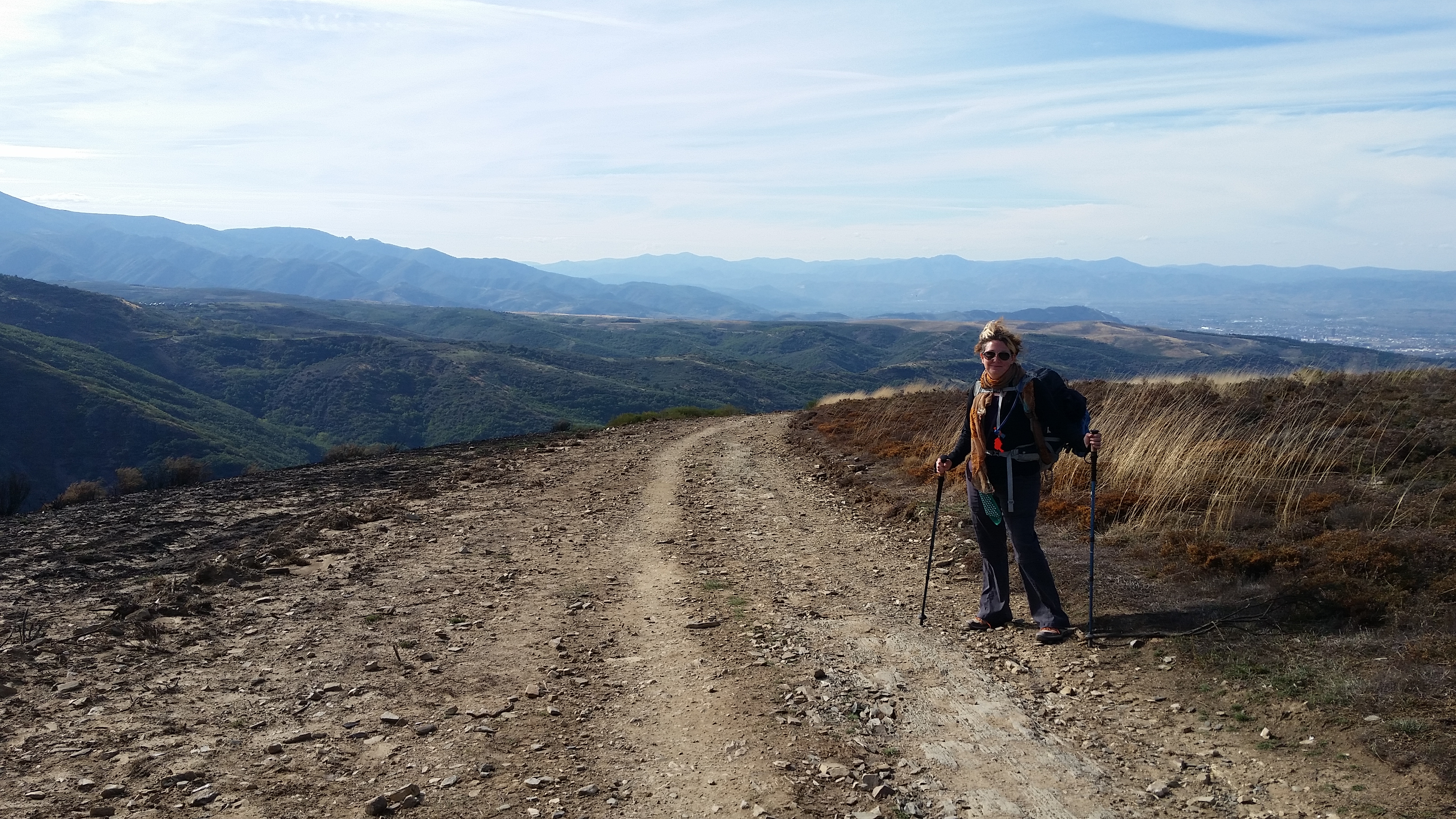
The Camino, in general, is hilly at the beginning (the Pyrenees), comes down to rolling hills, then,goes across a large plateau (the mesetas), and back up over mountains (after Leon) and then slowly downwards (with a lot of ups and downs) through Galicia.
There is an excellent diagram of the elevations put out by the French confraternity [PDF]. It’s also available in paper form at the pilgrim’s office in St. Jean Pied-de-Port. Most guidebooks also have daily elevation listings, some clearer than others. Remember that depending on the scale, elevation diagrams can look *very* different and you’ve got to acquaint yourself with the actual feel of the diagram you are using to understand what elevation differences the diagram actually represents (so for instance, if your guidebook always uses the full width of the page for an elevation diagram of each stage, a short stage is going to stretch out the elevation/distance ratio and make the same elevation gains seem less steep than a longer day.


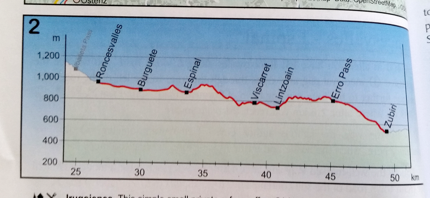
Elevation Maps
These are all elevation maps from different guides showing the same day. They are clearly quite different! Some go left to right, others go right to left. Some are quite spread out and show little difference in the day, some are very up and down and clearly show elevation differences. Mostly this is to do with the scale, on the bottom and at the sides. Some guidebooks change the scale each day so that it most clearly shows the elevations on that day. Some keep the scale consistent. The important thing is to pay attention to the book you have and get to know the vagaries of it’s diagramming system.
Elevation maps from same day seem at first glance to show totally different hills
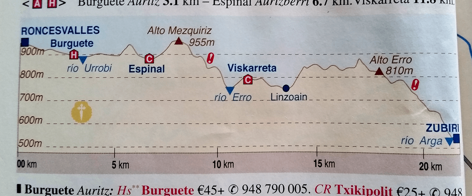
Elevation – Brierley
Brierly Guide
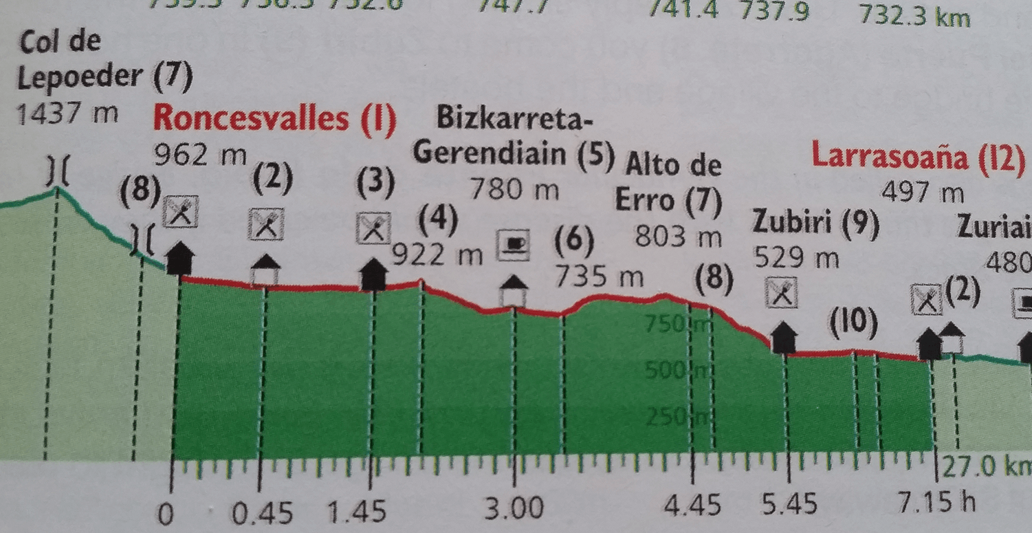
Elevation – Rother Guide
Rother Guide
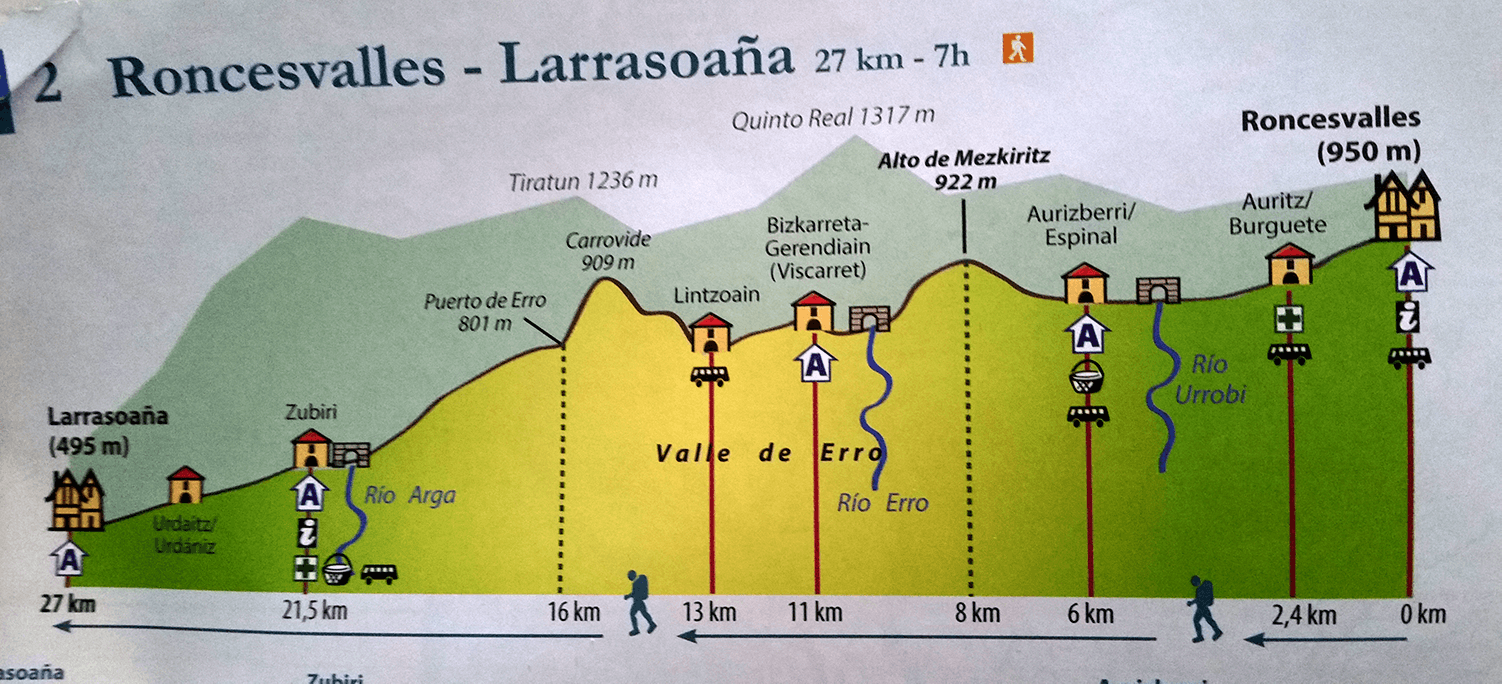
Elevation – Michelin Guide
Michelin Guide
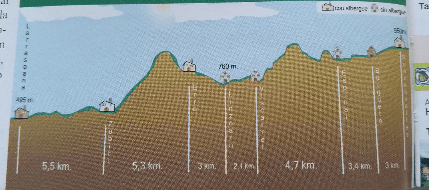
Elevation – Mundicamino
Mundicamino Guide
Elevation – Outdoor Guide
Outdoor Guide
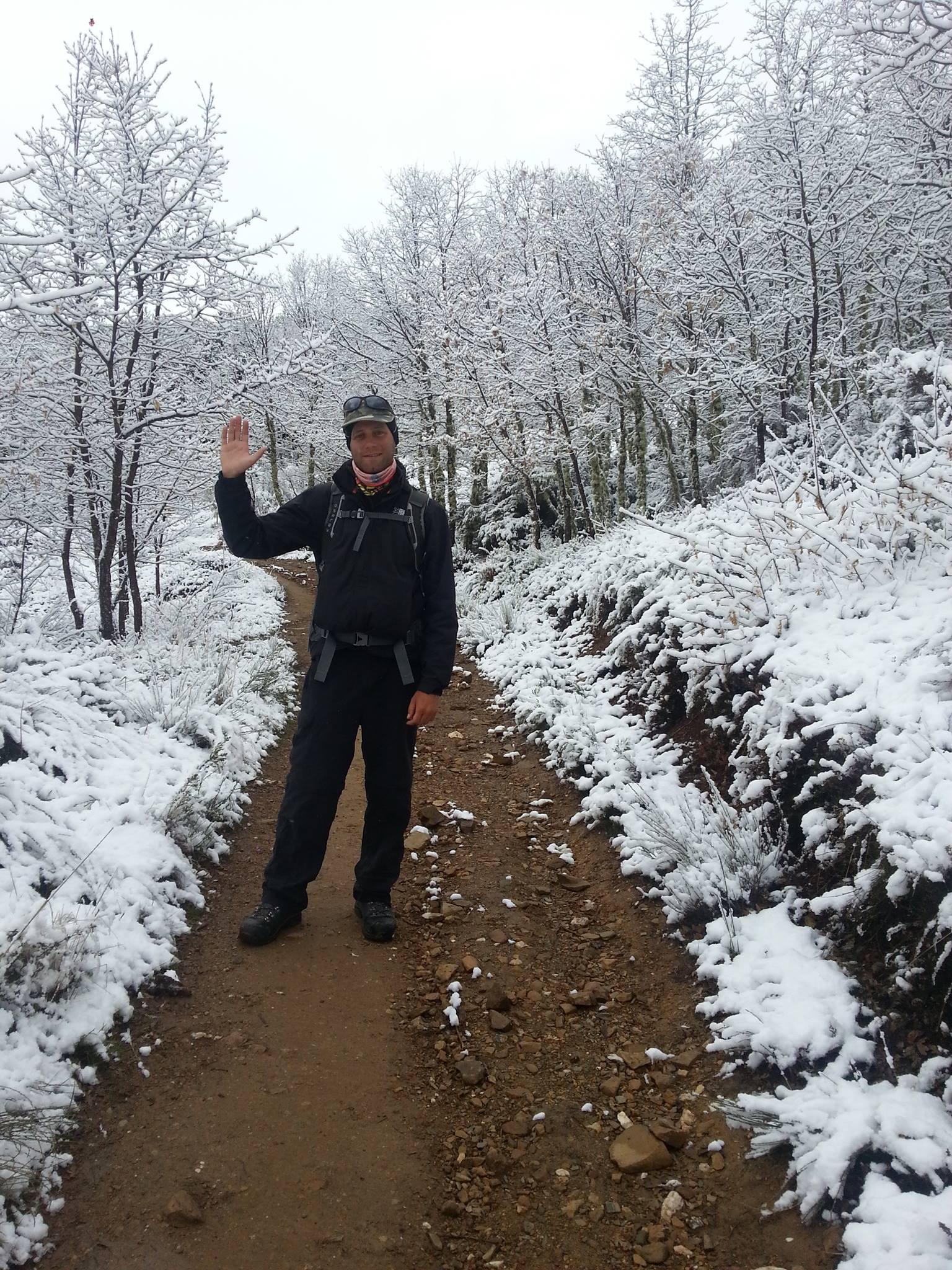
Snow on the way up to the Cruz de Ferro
127
128
129
130

Vines in wine country
132
133
134
135
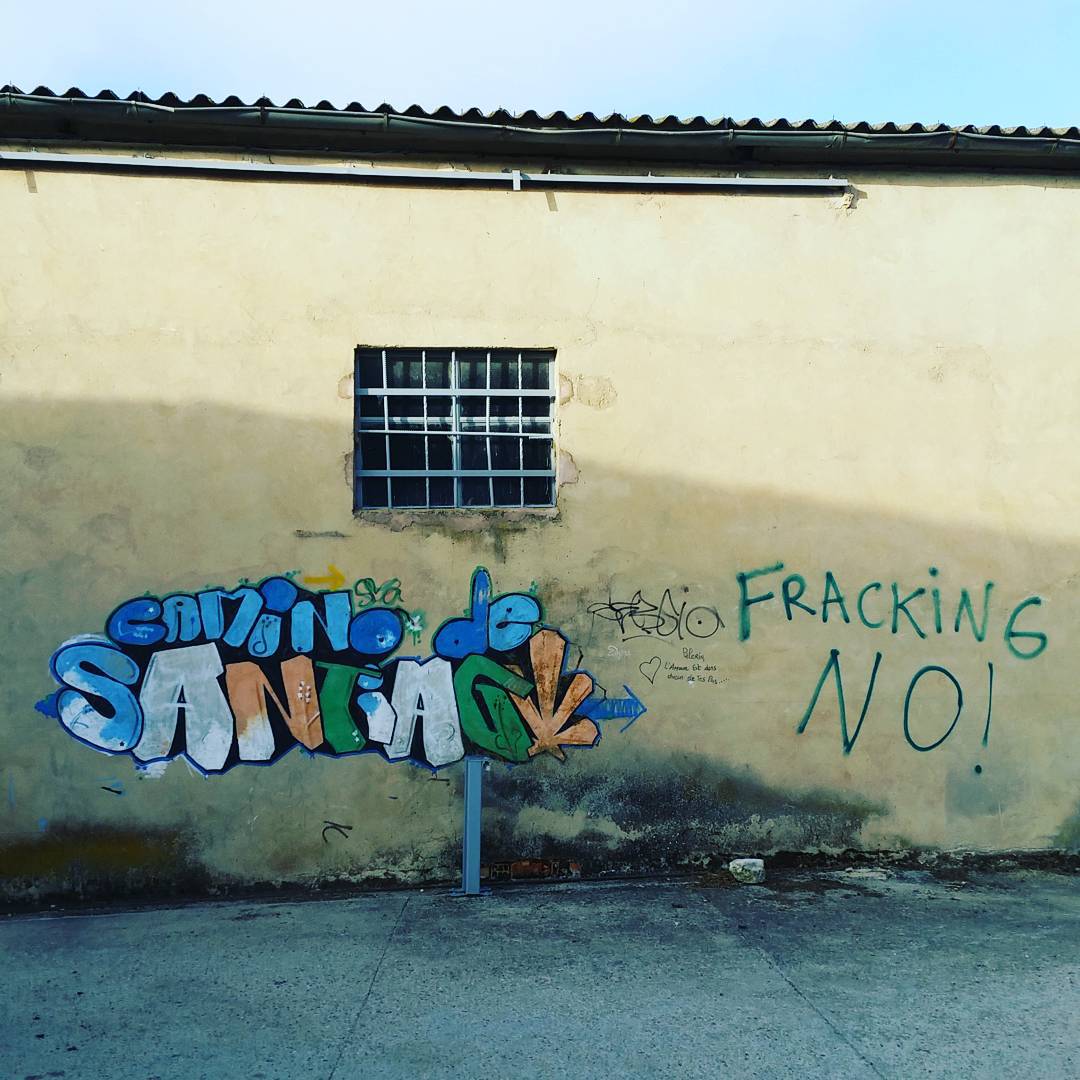
Fracking NO!
137
138
Resting by the road
A frosty fall morning
The long and winding trail
The Senda
143
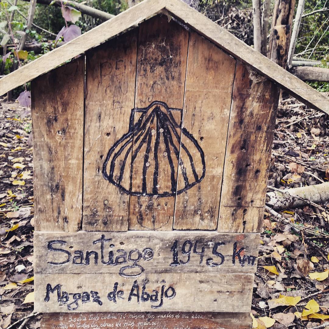
Santiago 315 km
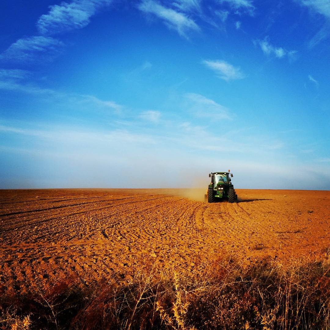
Tractor beneath the wide blue sky
146
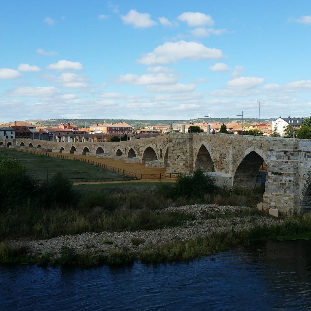
Bridge at Hospital d’Orbigo

148
149
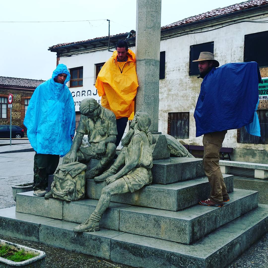
Rain gear
151
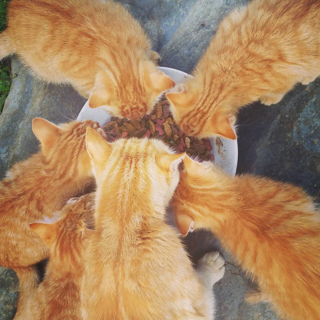
Ginger kittens
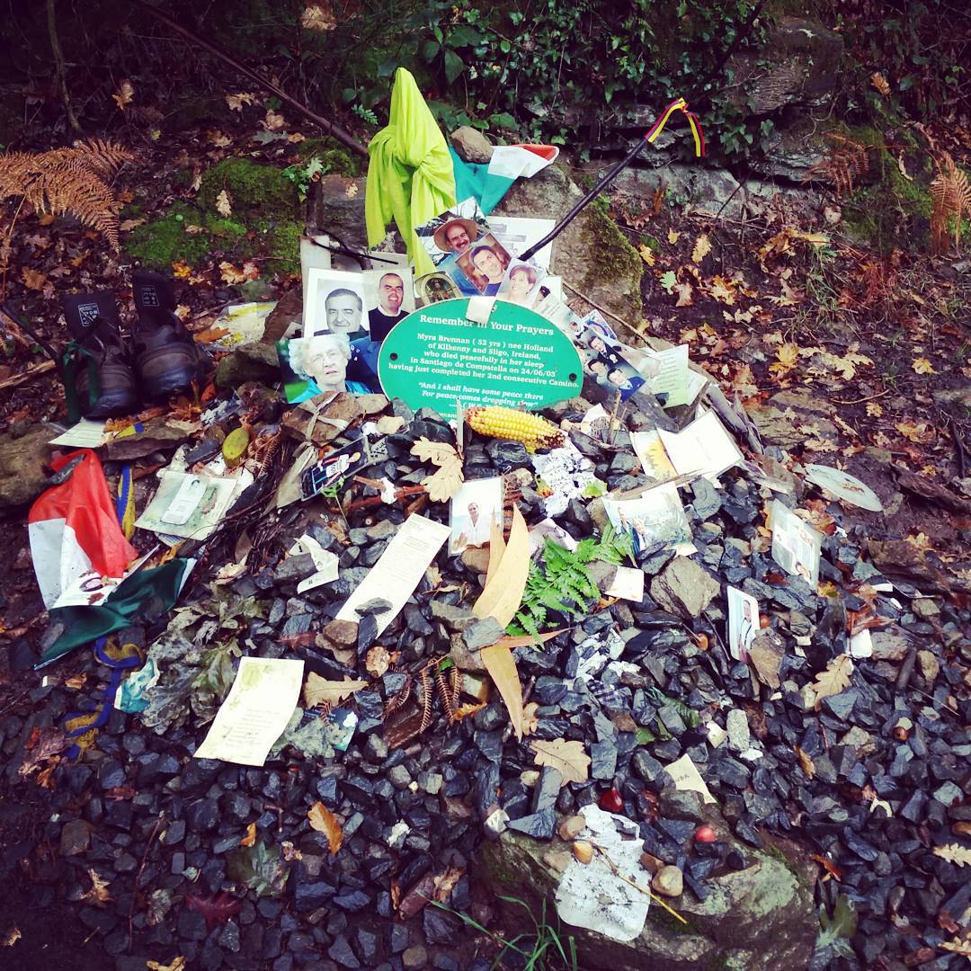
A day after Denise Thiem’s body was found
A day after Denise Thiem’s body was found
154
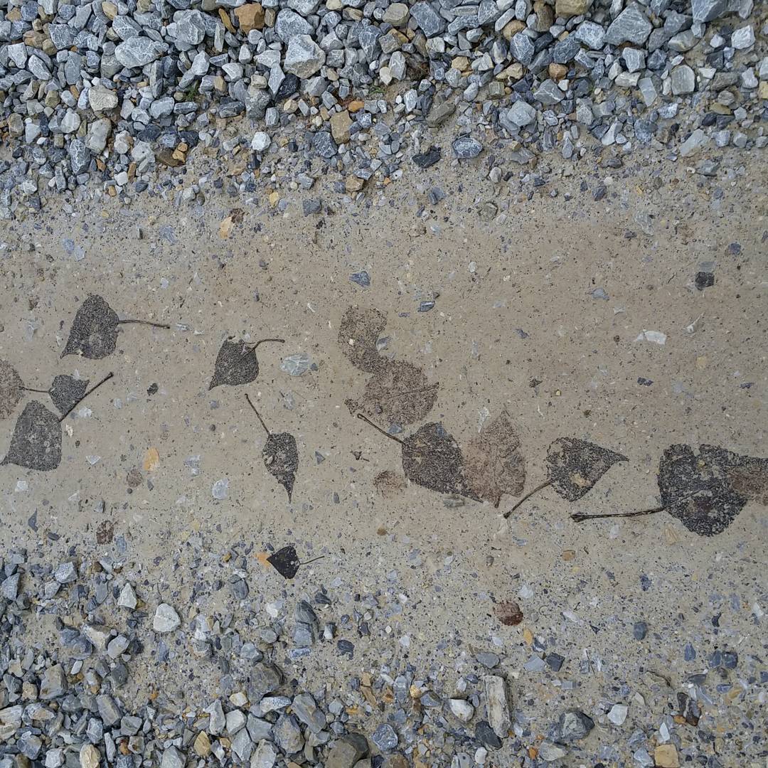
Leaves on the Camino

156
157
158
159

160
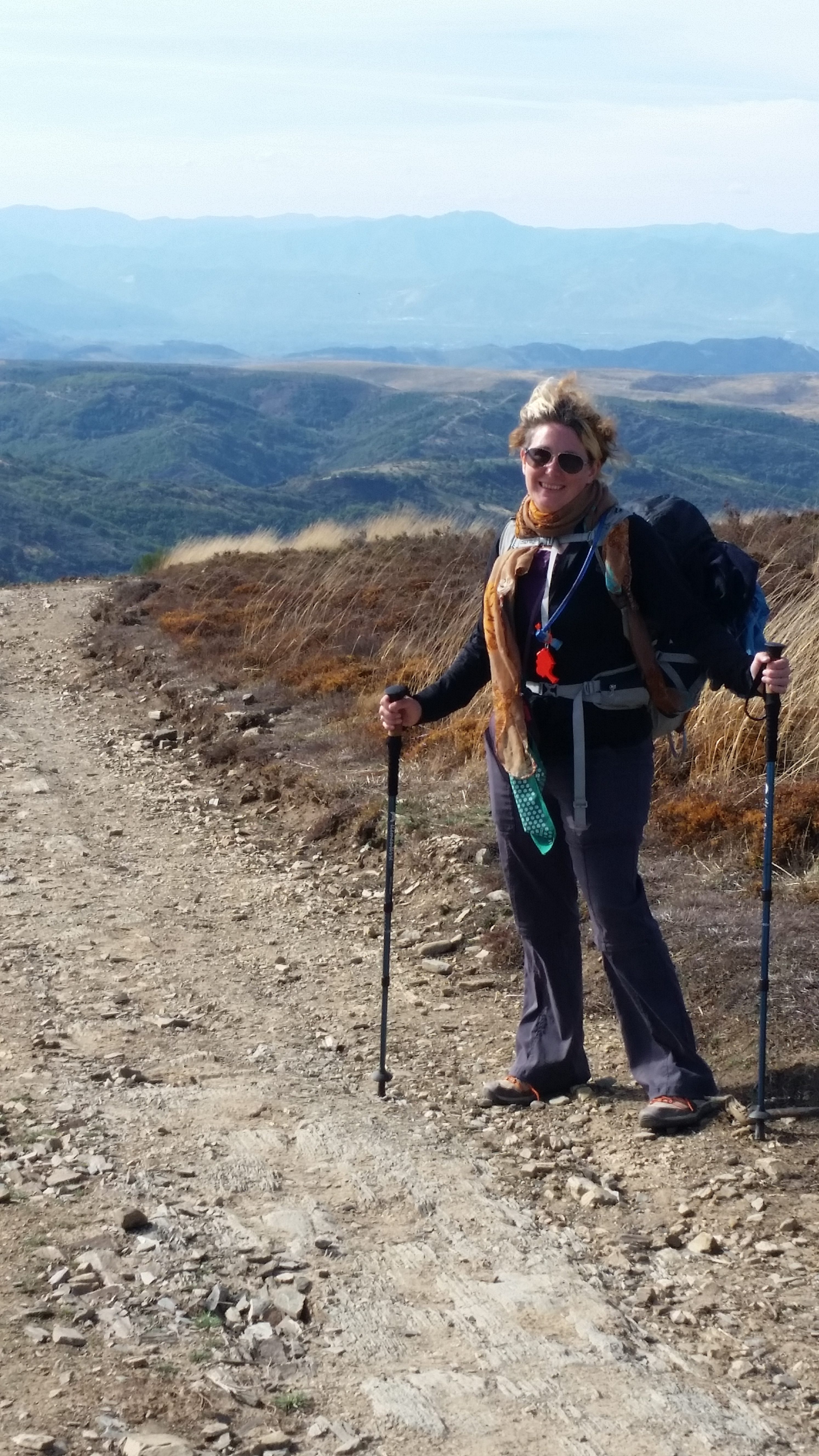
Me!
162
163
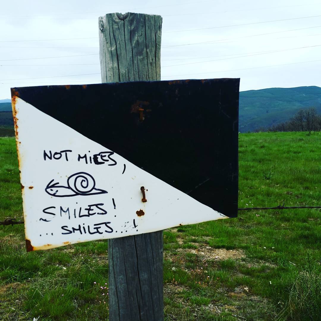
Not miles, Smiles! Smiles!
165
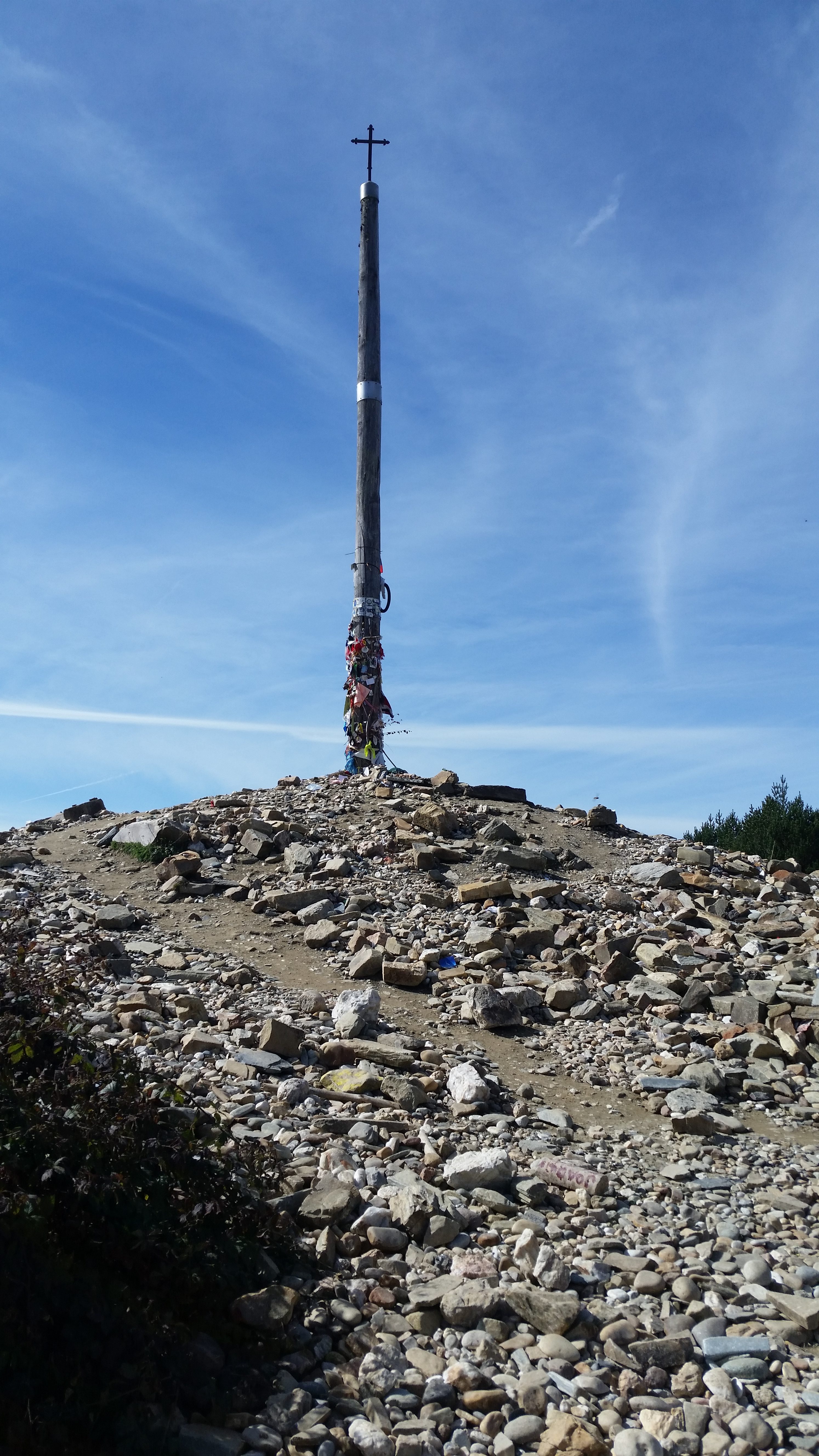
Cruz de Ferro
Looking towards Acebo and Ponferrada
At the top of the world
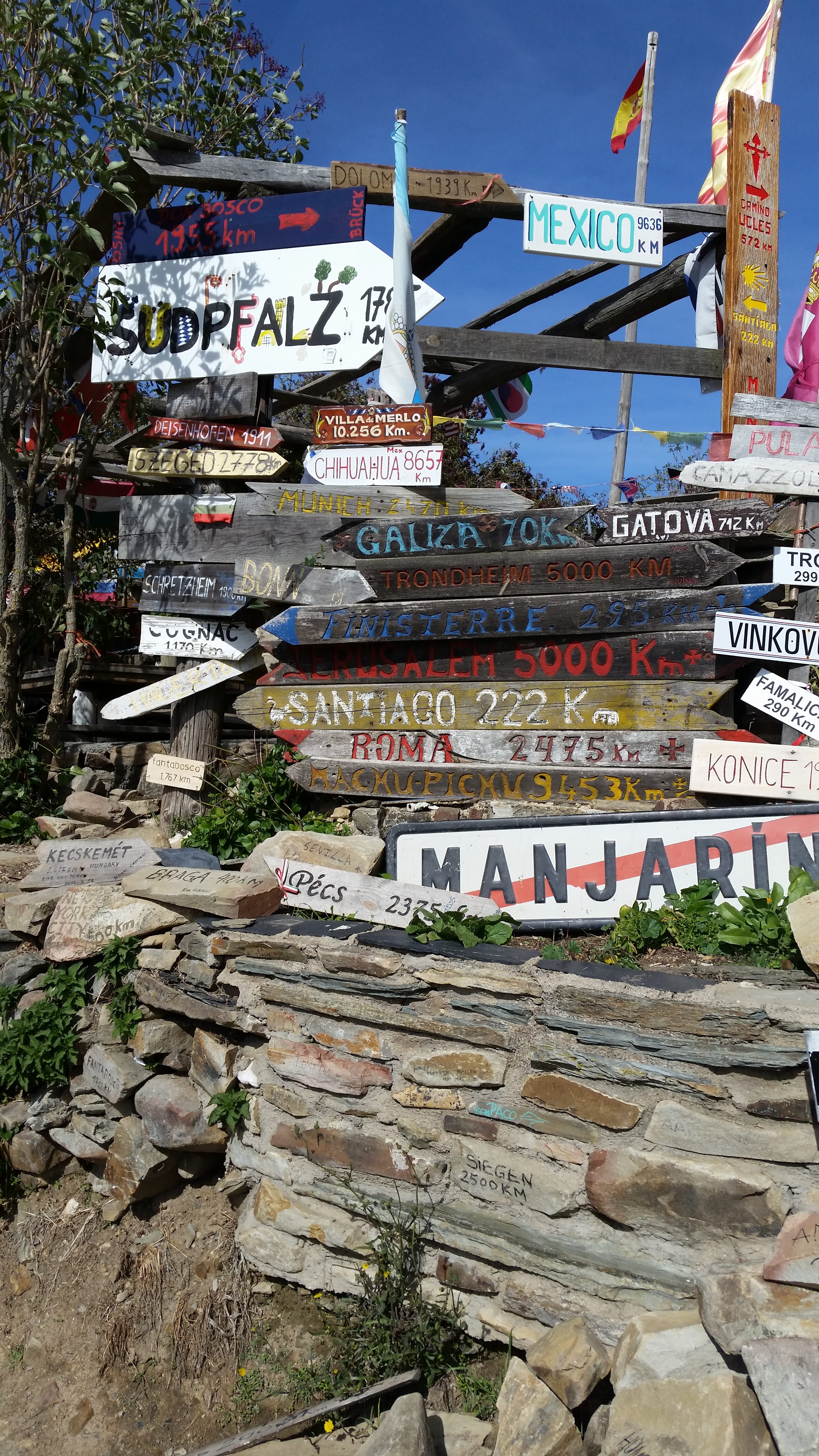
Collection of way signs at Manjarin
Pyrenees – Napoleon Route (high).
This is probably the most difficult climb. The first few kilometers up to Orisson are very steep – like climbing an 8 km (5 mile) long staircase. This is the most elevation gain/loss in the whole walk – especially if you do it over one day. I recommend staying over at Hunto (even though it’s only 4km from St. Jean P-P, it’s 4km all uphill!) or Orisson.
The other reason that this is a difficult climb is that it’s the first day. You won’t be ‘trail fit’ and it’s a long day in both distance and elevation. If you do it all in one day, start early, take your time, drink lots of fluids and pack lots of food for fuel. You’ll need it. Other than Orisson (which you will probably arrive at only a couple of hours after leaving St. Jean so probably between 8:30 and 11 am) there is only one man with a van serving snacks and hot drinks (the most delicious hot chocolate ever!) that is *sometimes* farther up the mountain. You will need food so bring lots.
On a related note, use the toilet before you leave. Like… a number two toilet. There is only one restroom in Orisson and there’s usually a long line waiting for it. After that there is nothing until Roncesvalles. Going in the woods is inadvisable and environmentally terrible. Definitely bring a ziplock bag (or several) to pick up after yourself just in case. Poop and scoop!
The top of the mountain can be VERY windy. Before you set out, tie everything on your pack down securely. One year my rain cover got ripped off of my pack and flew over the side of the mountain in seconds like a kite without a string. It was tied on, but not securely enough! It can also get very cold – even in April and May.
Snow is common. Bring gloves, hats, scarf. If you don’t want to carry them further you can always leave them on the ‘donations’ table in Roncesvalles, or send them on from Pamplona.


Pyrenees – Valcarlos Route (low).
If you are at all unsure, especially if the weather is looking bad, you can take the low road through Valcarlos. It is a slightly further distance, and the second day includes some pretty steep climbs into Roncesvalles, but it is in the valley and so more protected from the weather. It’s also a very pretty route so don’t feel like you are missing out on too much if you don’t take the Napoleon route. There are some great vistas at the point where the low route meets an alternate track of the high route (also quite windy!).
Valcarlos is a pretty little town – but there isn’t much there. Especially if you are earlier in the season (or later) you may have to go knocking on some doors to rouse someone to open the albergue for you. There’s a restaurant in town that serves decent food, but you may want to bring some things for breakfast and lunch the next day, because, again, after Valcarlos there’s no where else to get sustenance.
O Cebreiro
The climb up to O Cebreiro is beautiful, with stunning views and tiny villages perched on hilltops. The first half is slightly marred by sharing a route with horses that go up the steep and rocky trail dozens of times a day leaving a lot of horse shit that is either slippery and gross when wet, or attractive to biting horse flies when dry. Not so pleasant for hikers! However, the top half of the climb seems to be less prone to the poo and the trail is more open with expansive views both forward and back over the surrounding countryside and mountain tops.
The village of O Cebreiro is charming and beautiful, but can also be crammed with bus tourists and it has quite a few touristy trinket shops. The church in town is (I believe) the oldest on the route and has a wonderful atmosphere of mystery and sublime tranquility. There’s not a lot of beds in the local albergues and hotels, and I recommend staying in La Faba in the German Confraternity if you get too tired to climb all the way up. There’s also a lovely vegetarian meal in La Faba at El Refugio and delicious food in a funky atmosphere at the Casa El Arbol Gastrobar Et Hospedaje (with one of the best views from a restaurant patio anywhere!).
There is a very steep hill about 10km after O Cebreiro known as Alto Do Poio. The trail here has been improved in the last couple of years but it is still a very lung-bustingly steep climb. Luckily it’s short and there’s a cafe (complete with wandering chickens!) at the top serving cool drinks.


Cruz de Ferro
This is the highest point on the Camino at 1530m (5020 feet) above sea level. For many it is a highly spiritual experience. Tradition says that a pilgrim should bring a small pebble from their home country and leave it at the base of the Iron Cross, signifying release from their spiritual burdens. Many leave momentos of people who have passed away, poems or prayers. Even if you are not religious it is quite a moving sight.
The area around the Cruz de Ferro can also be quite treacherous in bad weather. I was once caught in a blizzard with almost a foot of snow – at the end of May! Quite unexpected. If you start in Rabanal or El Ganso you could have an early lunch (or second breakfast) at Foncebaddon, a few kilometers before the cross. There are some tasty eats in town, definitely take a break and stop for a coffee or something to warm up before the last push over the top.
The trail goes up and down for a ways past the Iron Cross, and a stop to look at the curious assemblage of people and things at Manjarin is always interesting. But there’s no running water or flush toilets here! Sometimes a little past Manjarin there is a van that stops along the roadside with drinks and snacks. Then there’s a VERY steep descent into the lovely village of Acebo. I recommend stopping in Acebo and taking the descent over two days – although Molinaseca is also a lovely village – but doing it all in one go may well do your knees in!